


Catawba Riverkeeper
Our River

OUR RIVER
Geography
The Catawba-Wateree River begins in the Blue Ridge Mountains of western North Carolina and flows through the Charlotte metropolitan area into Lake Wateree in South Carolina. The name of the river changes to the Wateree River in Lake Wateree and eventually joins with the Congaree River in Lake Marion. The River is 225 miles and flows through 26 counties in North and South Carolina.
The 5,610 square mile basin can be divided into 5 sub-watersheds; Northern Catawba, South Fork, Central Catawba, Southern Catawba, and Wateree.
OUR RIVER
Lakes
The River Basin includes thousands of miles of creeks, streams, and tributaries. The Catawba River has 14 dams and includes 11 lakes.
- Lake James
- Lake Rhodhiss
- Lake Hickory
- Lookout Shoals
- Lake Norman
- Mountain Island Lake
- Lake Wylie
- Fishing Creek Lake
- Great Falls Lake
- Rocky Creek Lake
- Lake Wateree

OUR RIVER
Features


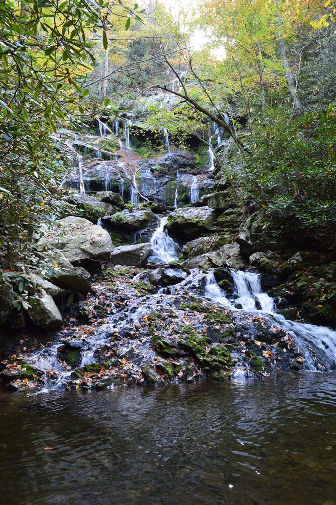
The Catawba-Wateree River Basin is home to the Linville Gorge National Wilderness Area and Congaree National Park. It’s also the location of the world’s largest colony of Rocky Shoals Spider Lilies. Hikers enjoy scenic views of Catawba Falls at the river’s headwaters near Old Fort, NC.
Support Our Foundation
Let's protect the Catawba River!
The Catawba Riverkeeper Foundation is working towards clean, plentiful water now and for generations to come.
OUR RIVER
Uses
The Catawba-Wateree River is used for drinking water for more than 2.5 million people, electricity generation for 3.7 million homes, industry, agriculture & recreation. The River also provides a strong property tax base.
